


Government
-
Boards and Commissions

- Airport Advisory Board
- Board of Appeals
- Claremont Arts, History, and Culture Resources Preservation Commission
- Claremont Community Television Board of Directors
- Claremont Development Authority
- Claremont Housing Authority Commission
- Claremont Planning Board
- Claremont Police Commission
- Conservation Commission
- Energy Advisory Committee
- Fiske Free Library Board of Trustees
- Frances J. Tolles Home Board of Trustees
- Historic District Commission
- Licensing Board
- Mt. Ascutney Region River Subcommittee
- Parks and Recreation Commission
- Personnel Advisory Board
- Policy Committee
- Steering Committee For EPA Multipurpose Grant
- Tax Increment Finance District Advisory Board
- Trustees of Trust Funds
- Upper Valley Lake Sunapee Regional Planning Commission
- Zoning Board of Adjustment
- City Council
- Departments
- Employment Opportunities
- Master Plan
- Municipal Codes and Ordinances
- Procurement Opportunities (Bids)
- Schools in Claremont
Claremont Conservation Commission
Welcome to the Claremont Conservation Commission's page dedicated to environmental education. Here we will share information of public interest on the environment and to advertise upcoming public events sponsored or hosted by the Commission.
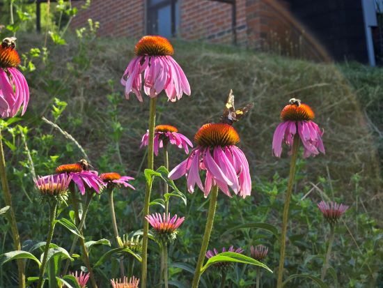
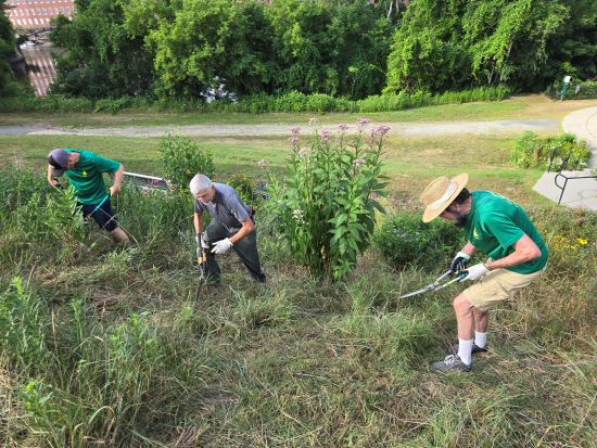
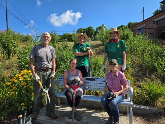
Monarch Waystation Refresh
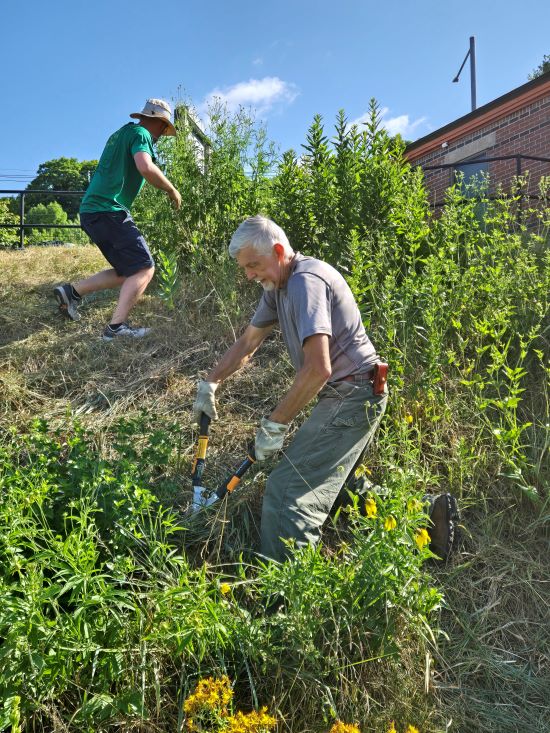
On Saturday, July 13th, several members of the Claremont Conservation Commission came together to give the Monarch Waystation a much-needed refresh. The original plants have settled in nicely and have grown considerably since their installation three years ago. Volunteers cut the grass between the pollinators and removed some invaders as well as tidying up Kurt Beek's Memorial Garden.
All photos by Eric Zengota
Natural Resources Inventory
In 2013, the Conservation Commission published the Natural Resources Inventory1 for the City. In addition to providing an inventory of the City's natural resources, it provided a list of ten ecologically significant areas in the City. In the coming months, we will use this space to hightlight each of those areas.
ECOLOGICALLY SIGNIFICANT AREAS (pg. 41)
The final outcome of any NRI is the identification of ecologically significant areas (ESAs) within the community. ESAs are those areas in the City that exhibit unique ecological characteristics that deserve special attention in terms of land use. This further provides a basis for informed land use planning, recognizing that some areas have high ecological value based on the various attributes present.
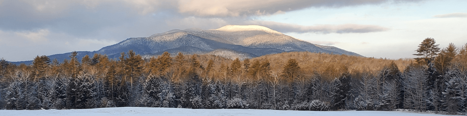
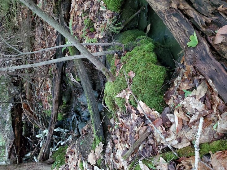
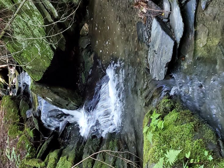
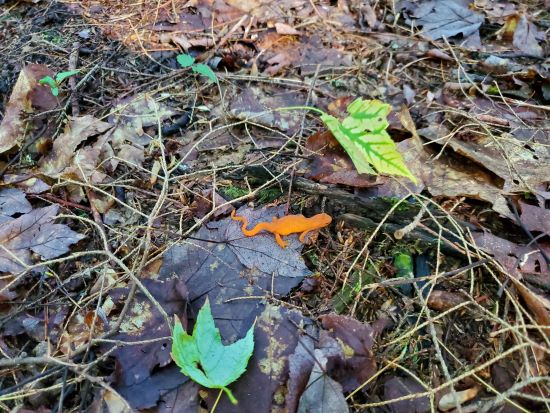
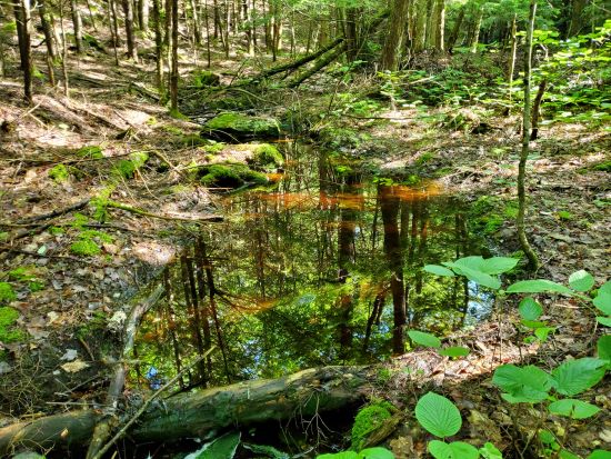
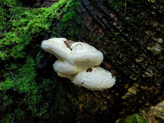
Cat Hole Ecologically Significant Area (ESA #1)
- Largest intact forest associated with a large unfragmented block (48,723 acres) extending beyond Claremont boundary
- Most diverse wildlife habitat aggregation providing excellent habitat connectivity
- Largest high ranked wetland complex (high functionality for ecological integrity and wildlife habitat, maintaining water quality, high flood storage value)
- Largest aggregation of high ranked wetlands
- High quality headwater streams to Redwater Brook
- Numerous sign of multiple focal species (moose, bear, mink, red-tailed hawk, sharp-shinned hawk, grouse)
- Largest intact hardwood forest
- Identified in WAP as containing highest ranked habitat
Photos taken in the Cat Hole ESA by Gary Dickerman
1Jeffry N. Littleton, Moosewood Ecological LLC., PO Box 9, Chesterfield NH